Introduction
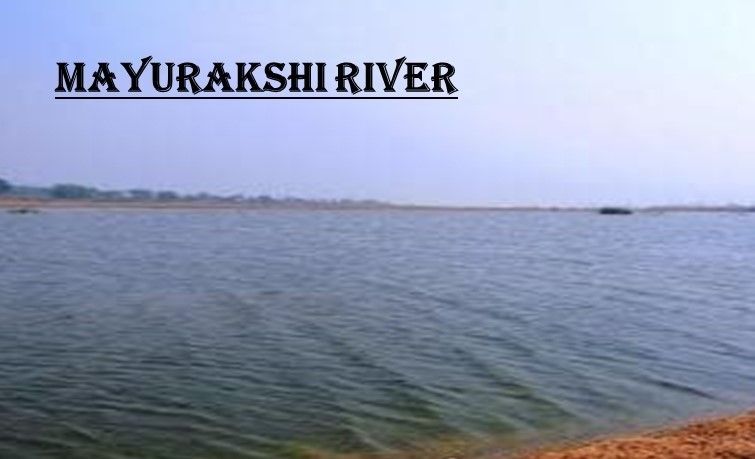
The Mayurakshi River, being rain-fed, is highly prone to seasonal floods. For centuries, its valley has been repeatedly devastated by overflowing waters during the monsoon season. The River Unpredictable Nature has earned it a reputation for destruction, with floods sweeping away villages, crops, and livestock. While the dry months leave the riverbed resembling a desert of sand, the rains transform it into a raging torrent, often several kilometers wide.
Seasonal Behavior
As noted by writer Tarasankar Bandyopadhyay, the Mayurakshi River remains dry for seven to eight months of the year, with sandy stretches spanning nearly 2.4 km. However, during the monsoon, the river becomes “terrible, demoniac,” expanding to 6–8 km in width and inundating everything in its path. This drastic seasonal variation makes the river both a lifeline and a threat to the communities along its banks.
Historical Floods
Floods caused by the Mayurakshi River have been recorded for centuries:
- 1787 Flood (Birbhum District): According to L.S.S. O’Malley, this flood swept away entire villages, inhabitants, cattle, and crops, leaving widespread devastation.
- 1806 Flood: Both the Mayurakshi and Ajay rivers rose suddenly, destroying villages and causing extraordinary damage.
- 1902 Flood: Overflowing waters from the Brahmani and Mayurakshi rivers deluged nearby areas to dangerous levels of 4–6 meters, submerging large tracts of land.
Modern Floods
West Bengal has witnessed several major floods in recent decades:
- 1978 Flood: Triggered by 72 hours of continuous rainfall over the western Bhagirathi basin, this flood washed away embankments and submerged large parts of Nadia, Murshidabad, and North 24 Parganas districts.
- 1998, 1999, and 2000 Floods: Consecutive years of flooding highlighted the recurring vulnerability of the region.
These floods left thousands homeless and caused extensive damage to agriculture and infrastructure.
Harpa Flood Phenomenon
One of the most destructive types of flooding associated with the Mayurakshi River is the Harpa flood. This rare event is characterized by water levels rising six to seven cubits deep, capable of destroying anything in its path. Homes, granaries, and entire villages have been engulfed by Harpa floods, the last of which was recorded about 20 years ago.
Frequency of Floods
Floods in the Mayurakshi basin have been so frequent that between 1960 and 2000, only five years were recorded as flood-free. Even during those years, at least 500 square kilometers of land remained submerged. This highlights the persistent threat posed by the river’s seasonal behavior.
Flood Control Measures
To mitigate the adverse effects of floods, embankments have been constructed along rivers such as the Mayurakshi, Brahmani, Dwarka, and Ajay. These embankments serve as structural measures to protect villages and agricultural lands, though they are not always sufficient against severe floods. The Massanjore Dam and Tilpara Barrage also play roles in regulating water flow, but flood management remains a challenge.
Conclusion
The Floods caused by the Mayurakshi River are a reminder of the dual nature of rivers sources of life and destruction. While embankments and dams have provided some relief, the recurring floods continue to shape the lives and livelihoods of communities in West Bengal. The history of floods along the Mayurakshi underscores the need for sustained flood management strategies and preparedness to safeguard against future disasters.